
This week’s mission was envisioning, planning, and executing the vision for this week’s video. This video has been rolling around in my head for quite some time. This special location has been continuously active for 6000 years. You read that right, 6000 years! It is one of our favorite spots for lunch, dinner, sunsets, etc. I really hope that you get so excited about this beautiful spot that you add to your shortlist of places to see. This is truly a hidden local gem.
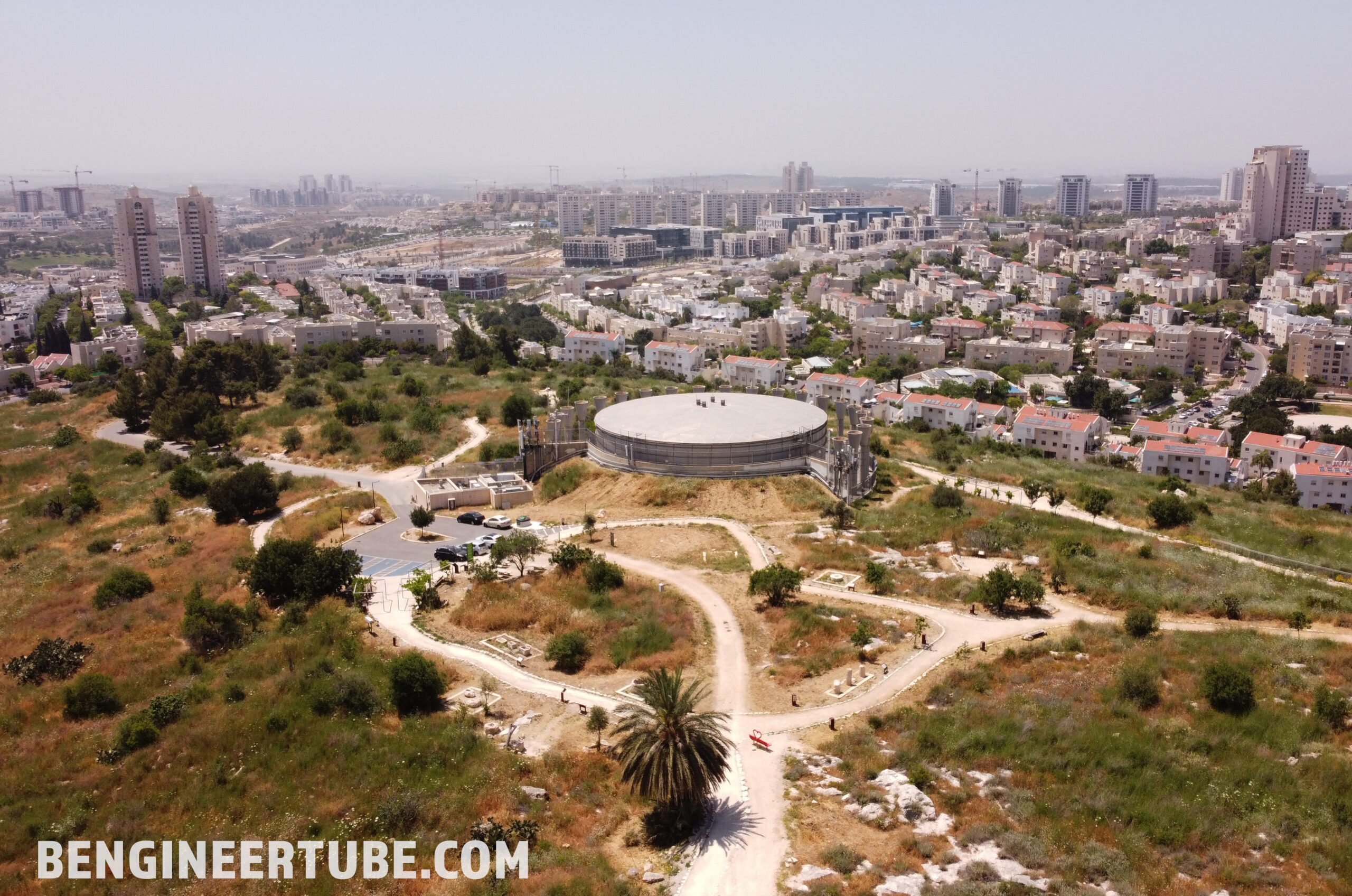
In the center of the city of Modiin, Israel there is a giant hill with a water tower at the top. If you have driven from Tel Aviv to Jerusalem on Route 443 at night, you will have seen the water tower beautifully lit up in rainbow lights peacefully watching over the city. The water tower is beautiful, but that isn’t what makes the hill (Givat HaTitora) Titora Hill so cool. Its original name, “Tantara”, was adapted in Arabic to “Tanturah” and the Hebrew to “Titura” (brimmed hat).
There are 4 different entrances to Givat HaTitora with one accessible by car. However, keep in mind there are only about 6 parking spaces. You can always park on the street below and walk up the road to the parking lot. The 3 other entrances are short include small hikes up to the top of the hill, but are rewarded with views of the city and surrounding areas you can’t get anywhere else.
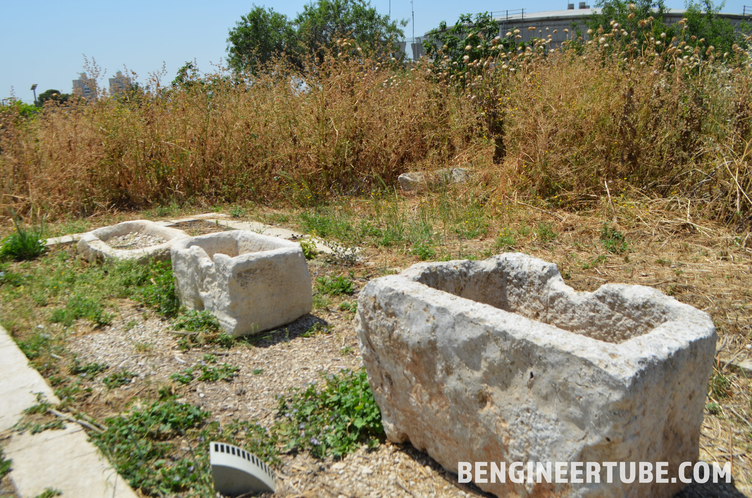
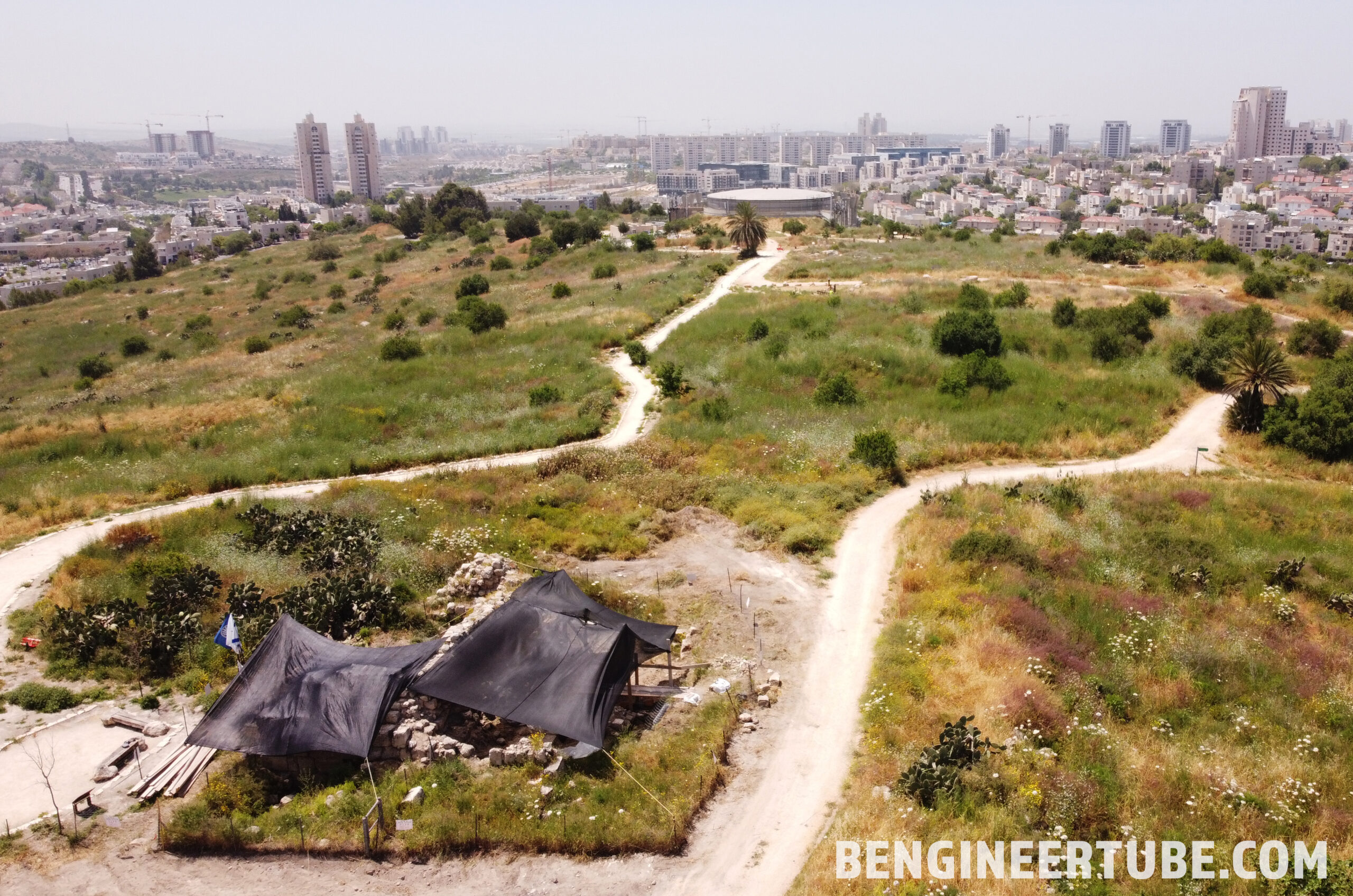
Titora Hill rises to 315 meters above sea level, covers 150 acres, and is the highest point in the city overlooking the Judaean Mountains. The hill played a very important role in the history of the Modiin region. It is an agricultural settlement from the Chalcolithic period 6000 years ago and lasted until 1948. Throughout this long settlement sequence, very interesting rural life took place here, as evidenced by all the archeological elements found on the hill.
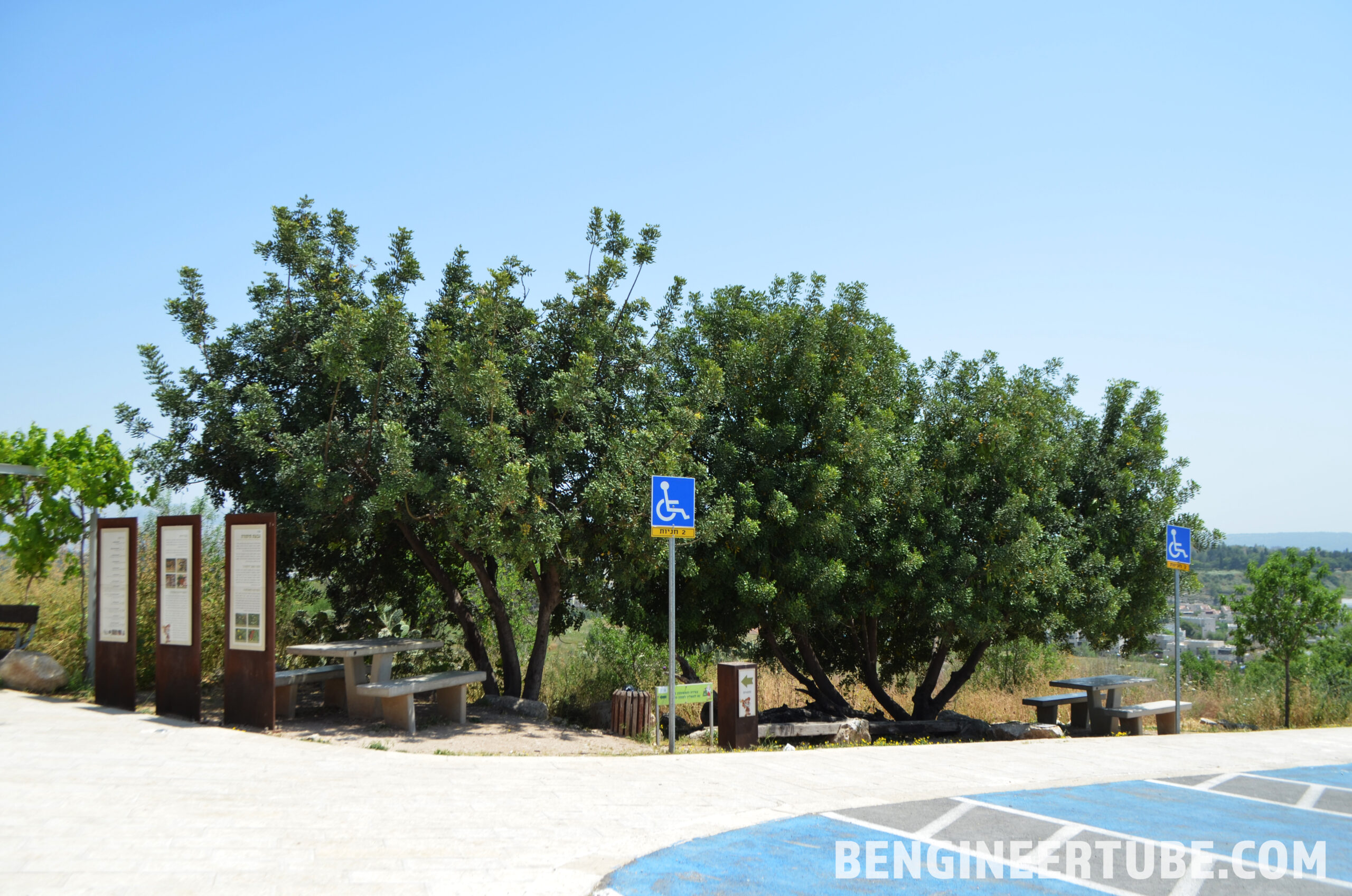
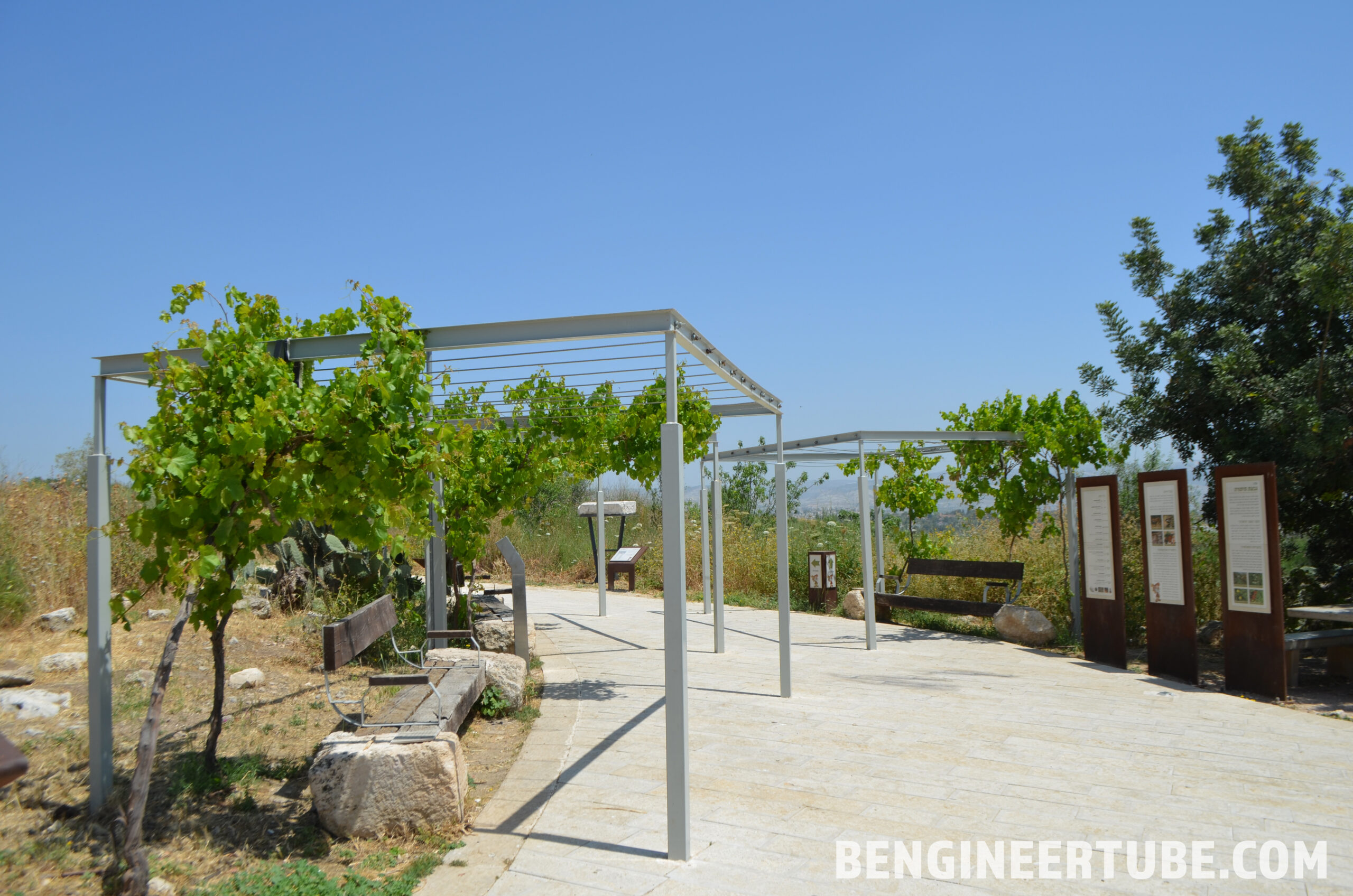
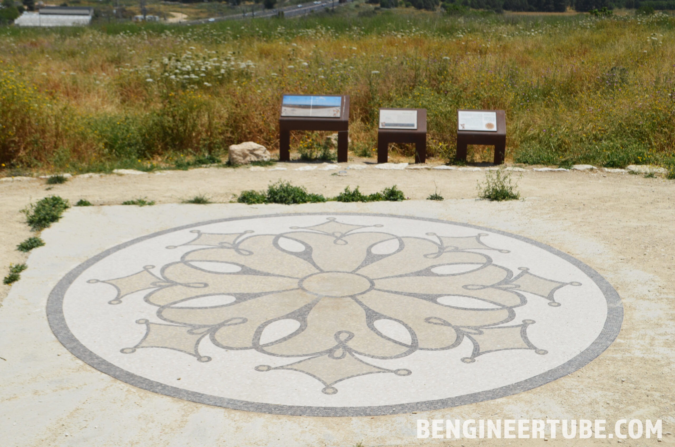
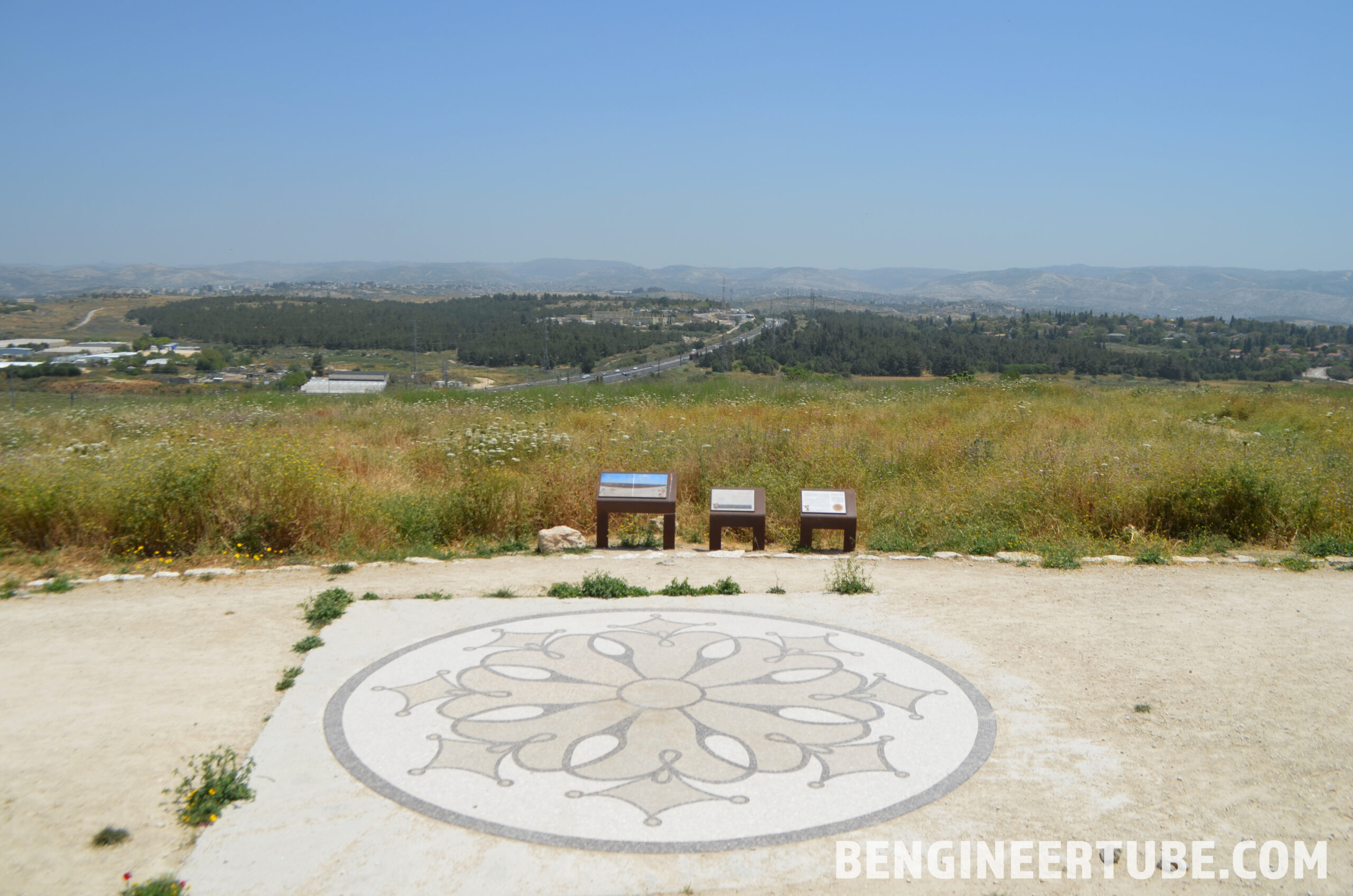
At the beginning of the path, there are picnic tables under shady trees with beautiful views of Modiin. Along the path, there are directional signs, information, and voice information stations in Hebrew and English that concisely tell the long story of Givat HaTitora.
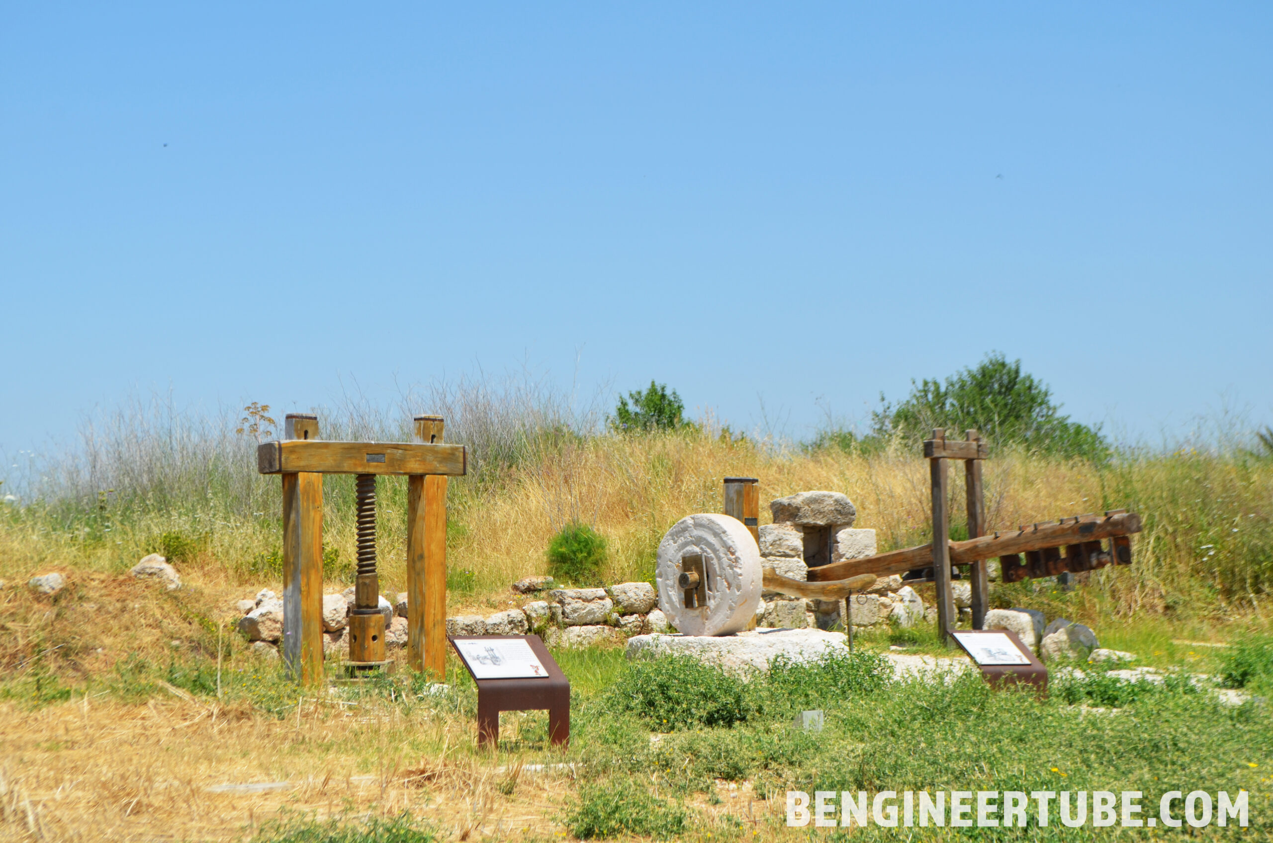
Map Walk along the route in the right part of the hill on good walking paths where models of large ancient archeological installations were placed such as: beam extruder and weights – This is a Roman and Hellenistic pickling rig made of wooden beams (fabric), weighing pads and collection pit. These and other facilities were used as a press for pressing olive oil.
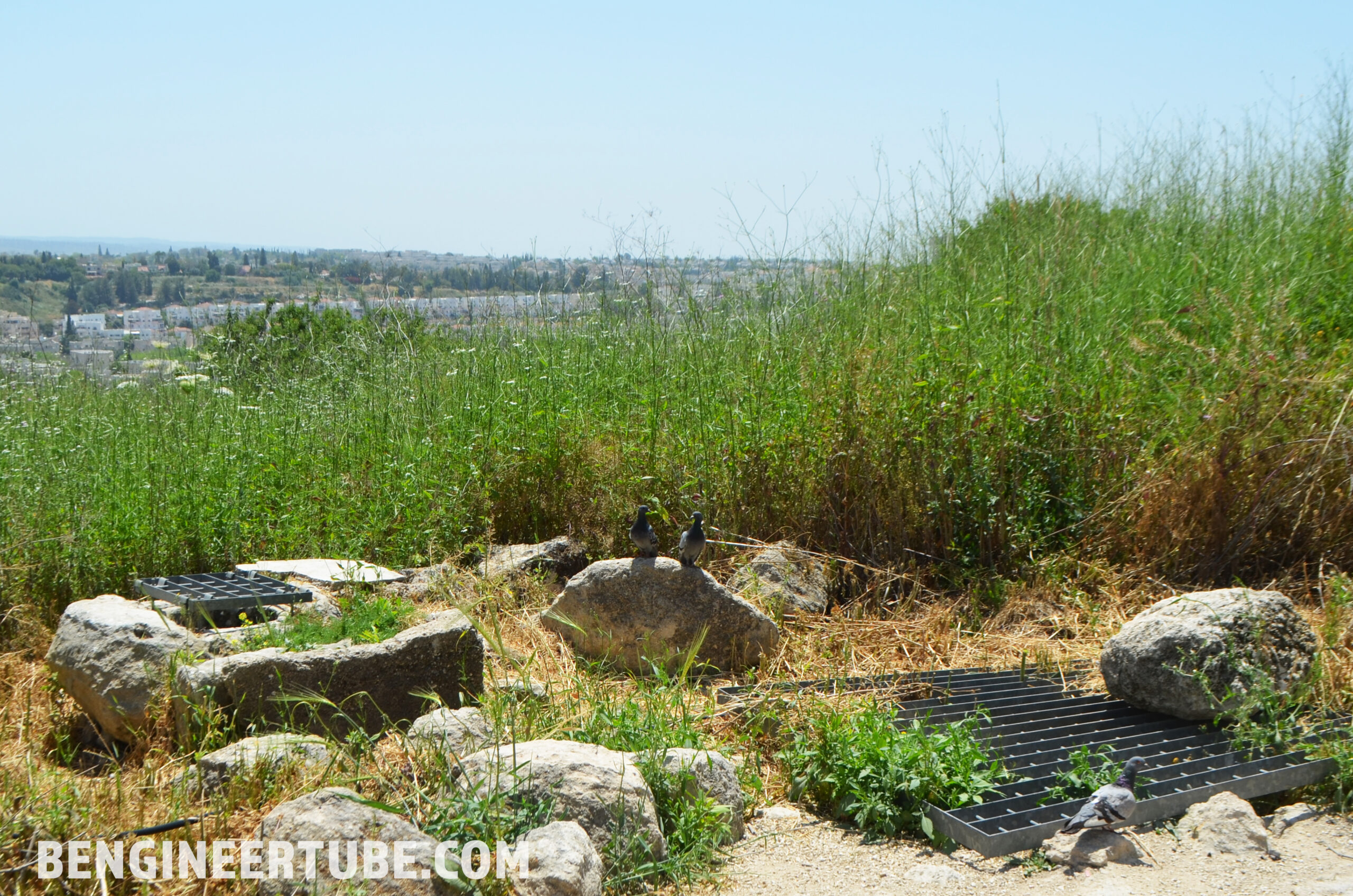
Continue walking on the path with stones and rocks in the spirit of the time, at the side of the road you can see water cisterns (which are now home to local pigeons) covered with bars to prevent falling, after a short walk of about 10 minutes you reach an impressive fortress “Kelat al-Tantura”.
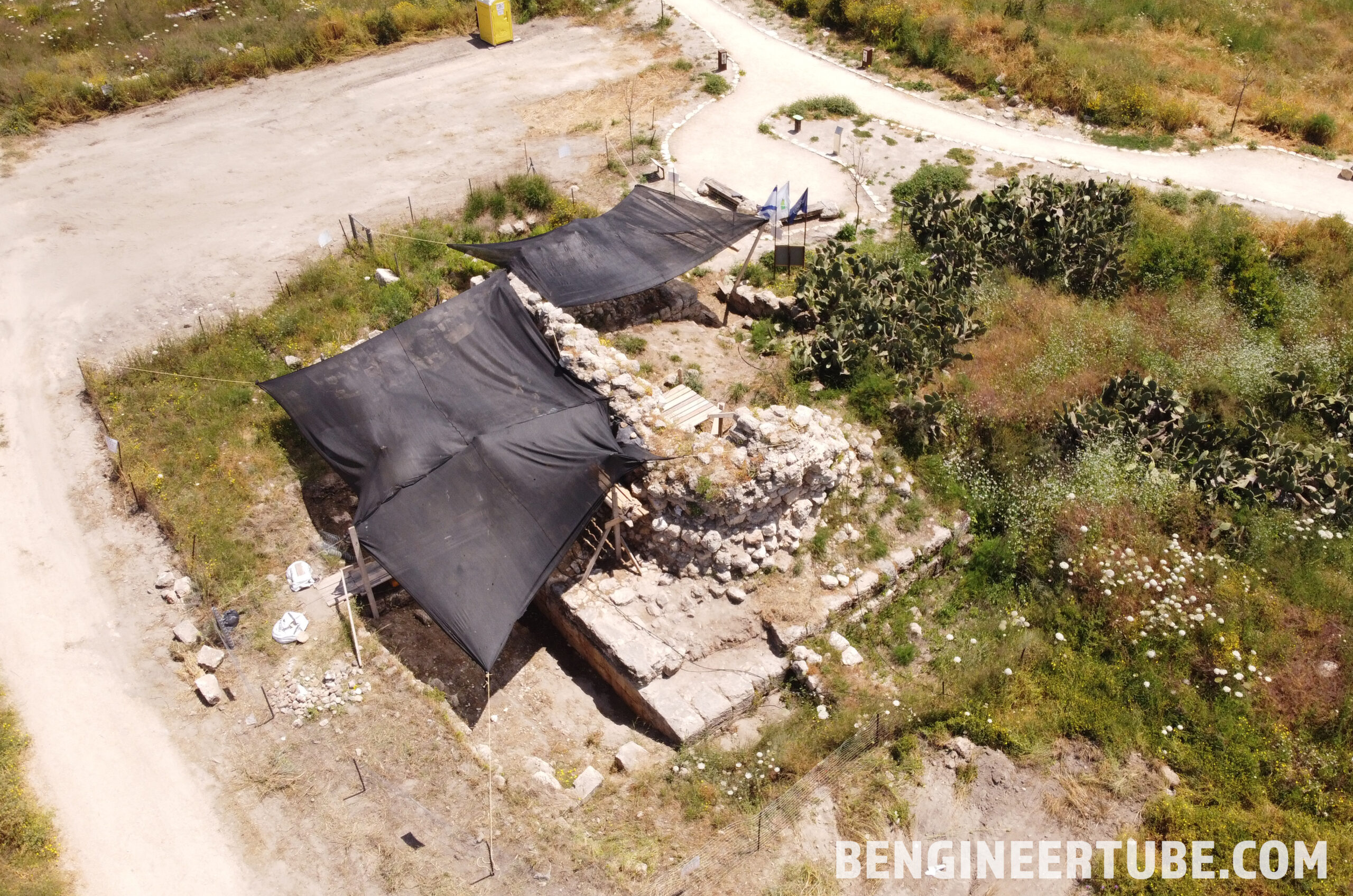

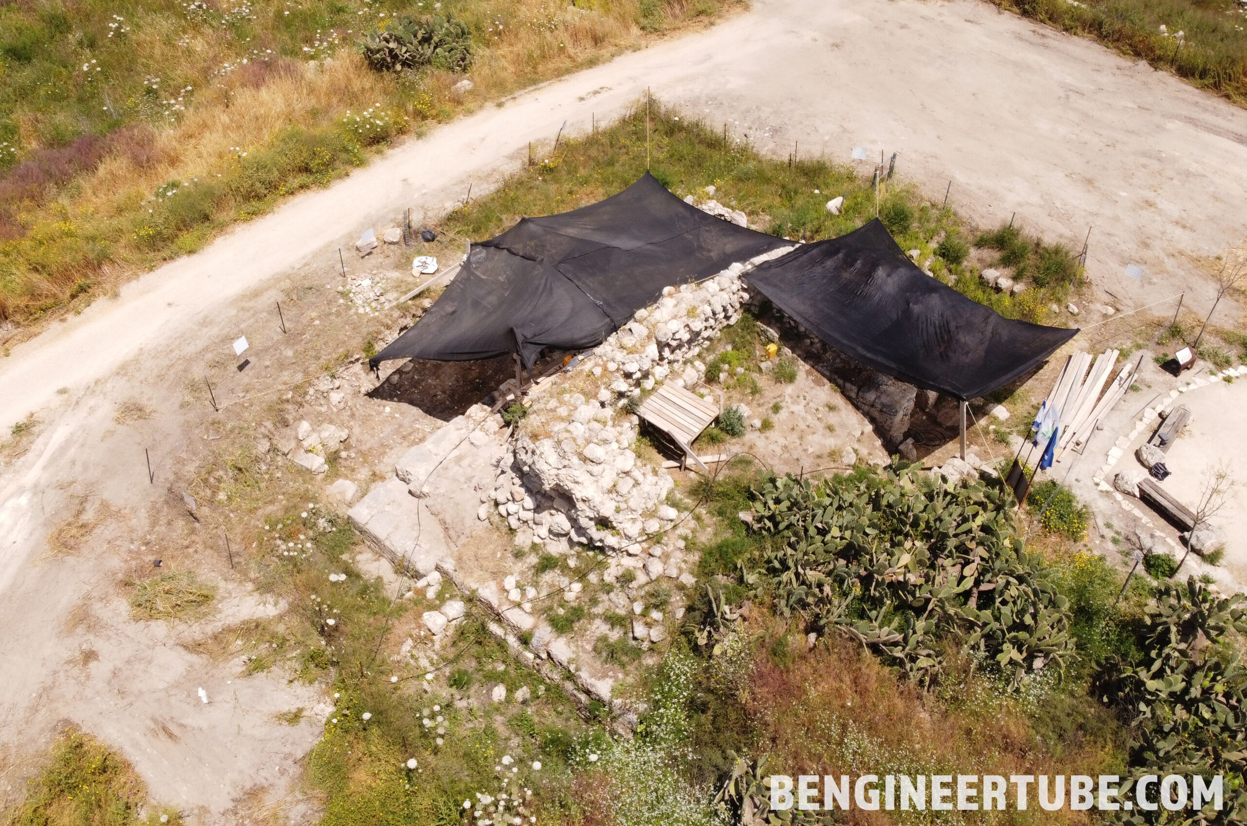
These are the remains of an ancient fortress that dominated the entire area of the Judean lowlands and Jerusalem, this fortress was built during the Crusader period to protect the road between Lod and Jerusalem. From here you can look at a 360-degree angle over the entire area. Along the way, a small amphitheater with seating was prepared, from which there is a view of the landscape of the Judean Mountains and the settlement of Maccabim.

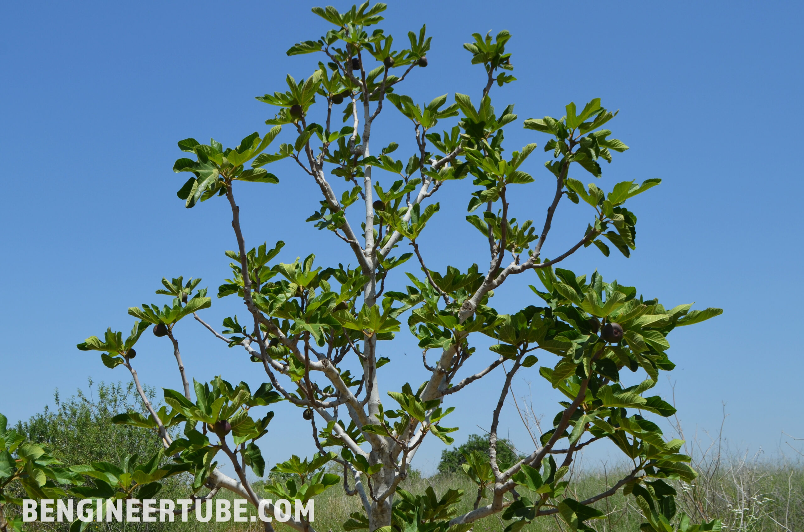
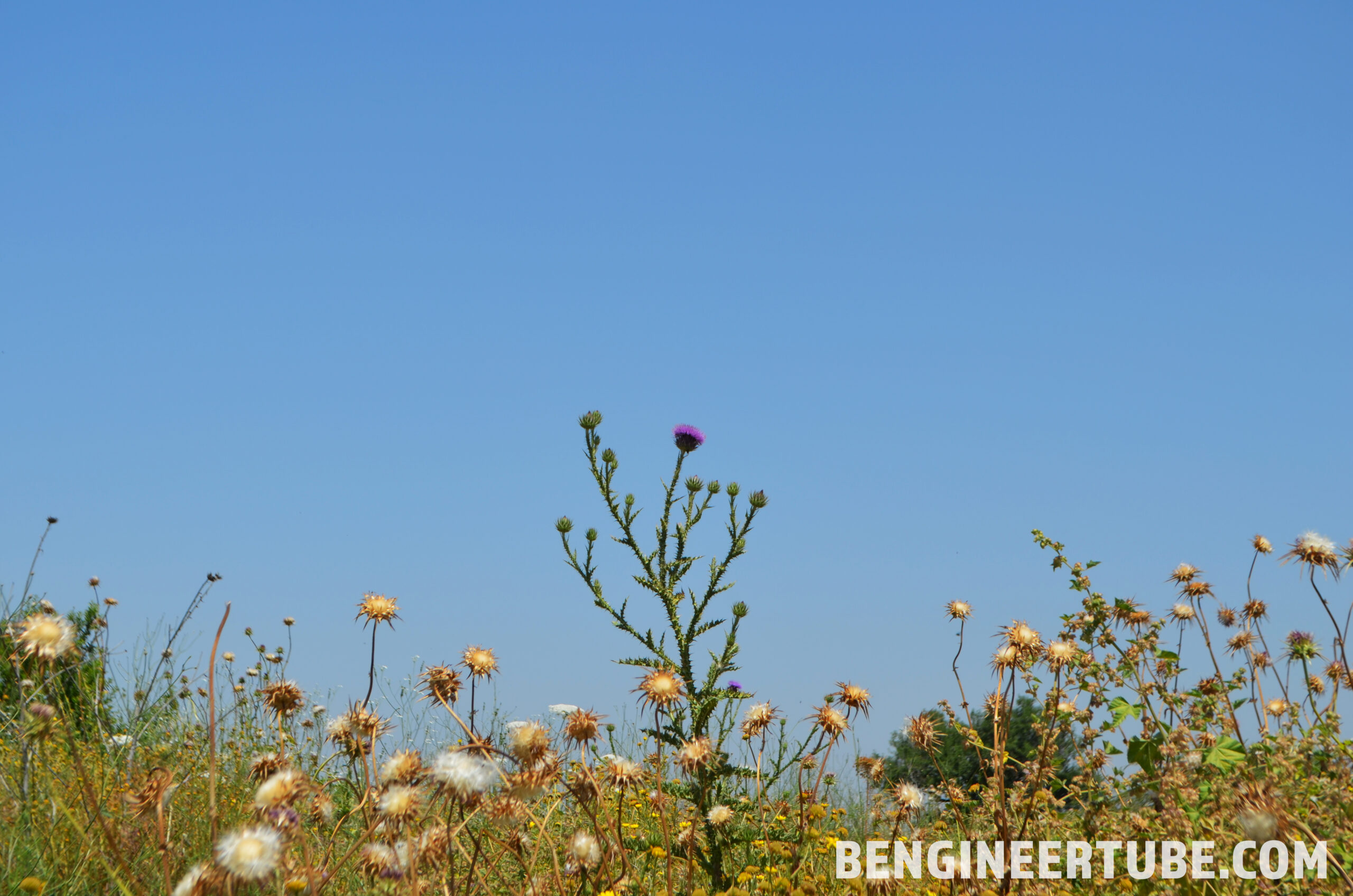
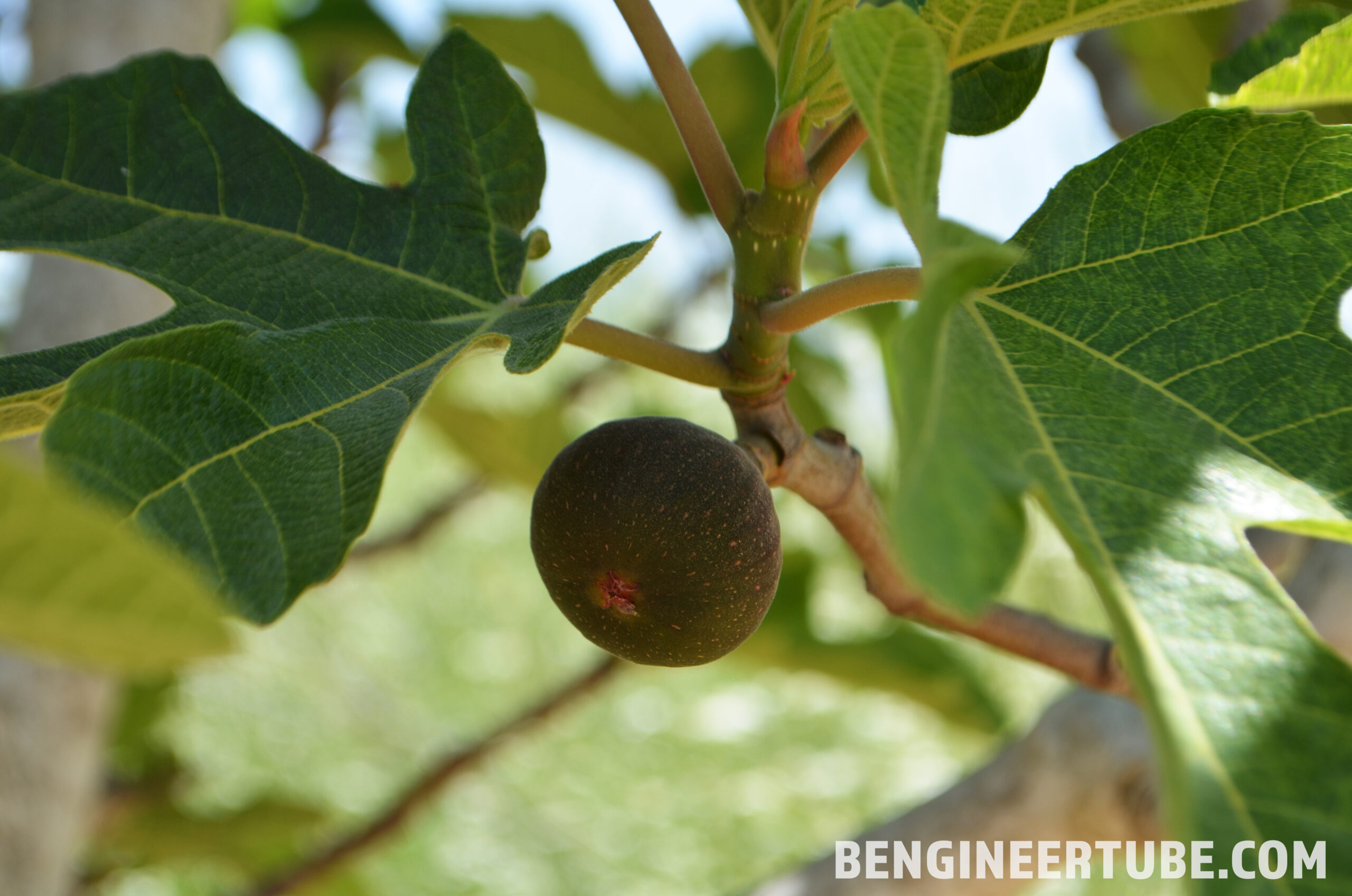
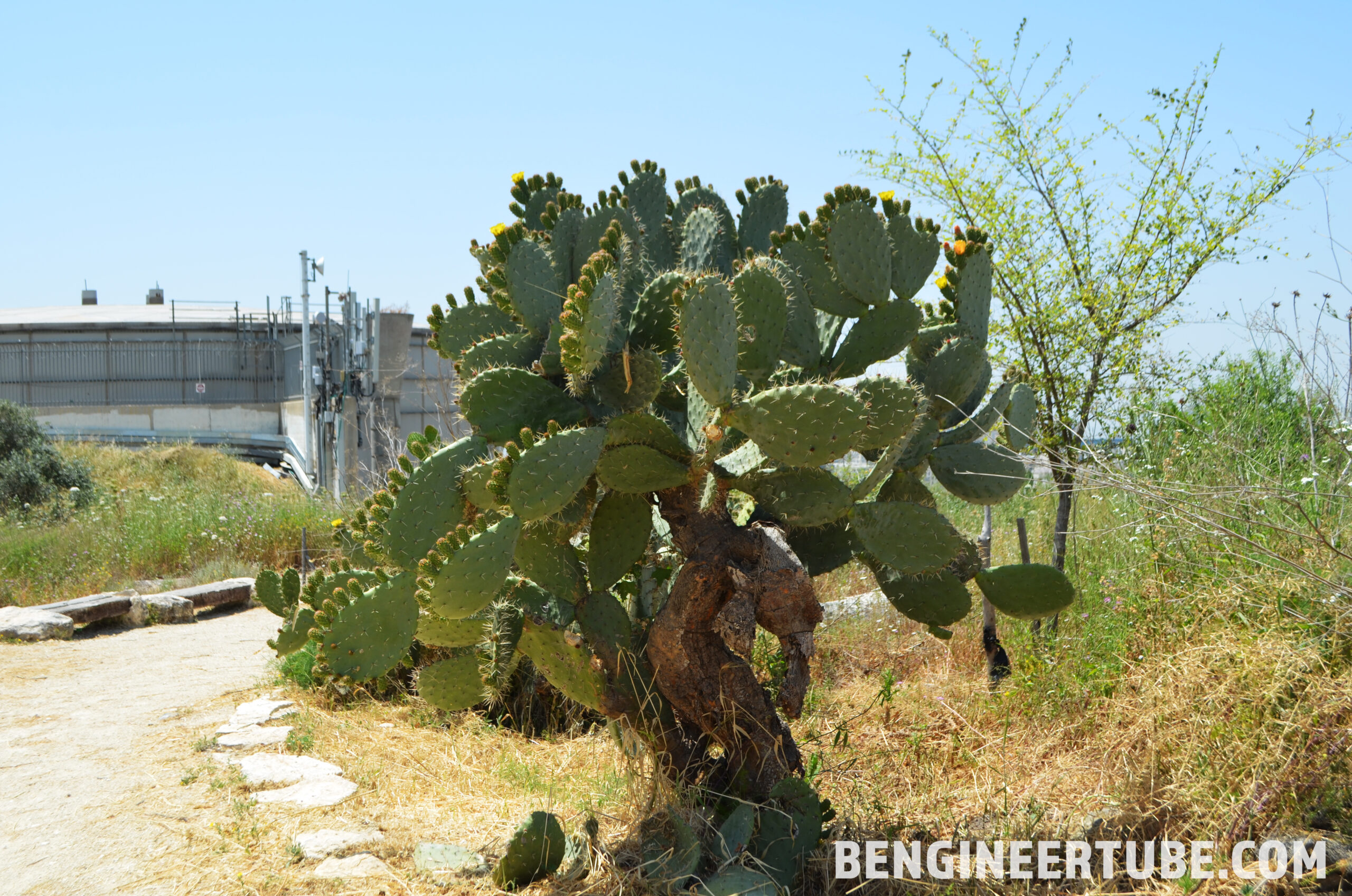
There are many fruit trees, flowers, cacti, and constant birds and butterflies flying nearby. The path also has built-in lights and is open in the evenings as well. Along the path, there are multiple benches and sitting options. The route is wheelchair-friendly, but also make sure to bring a hat and lots of water on a hot day as there aren’t many shady spots along the route.
You Keep Watching, and I’ll Keep Creating!
– Bengineer
SOCIALS:
FACEBOOK: https://fb.me/bengineertube
INSTAGRAM: https://www.instagram.com/bengineertube
TWITTER: https://twitter.com/theBenStern
Get Your OWN Mavic Mini: https://click.dji.com/ANdmqmuAPnqud7JN3nns_A?pm=link
Get Your OWN Mavic Air 2: https://click.dji.com/AMNLPOB6XOMPu0gvR9ggBg?pm=link